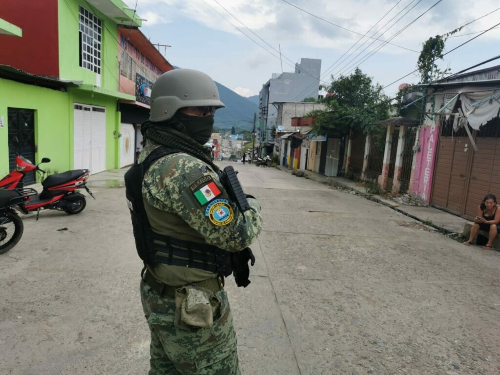
The United States Embassy in Mexico issued an alert to its citizens and government workers due to the increase in violence and security concerns in the state of Chiapas.
As such, they prohibited their government employees from traveling to the following areas of Chiapas.
Each of them are classified as restricted areas.
All areas within the limits, including roads and paths, unless specifically exempt, are restricted, the Embassy said.
The first zone is called “East-Northeast” whose eastern boundary follows the border between Mexico and Guatemala from the southern point on the Pacific coast, along the border, to the northern end point east of Netzahualcóyotl.
The Northern Limit extends from Netzahualcóyotl in a straight line southwest to the northern limit of Ocosingo.
The Western Limit is the third restricted zone, which goes from Ocosingo in a straight line south to El Ocote. From El Ocote in a straight line west to San Francisco Pujiltic. From San Francisco Pujiltic southwest to just north of Mapastepec.
The South-Southwest boundary is the fourth restricted zone, which runs from Highway 200 from Mapastepec to Tapachula.
All villages along this highway are not restricted. The area north of Highway 200 defines the southern boundary of the restricted area. From Tapachula, the limit of the restricted area is north and east of the city limits and then extends southeast to the Pacific coast in Tres Hermanos San Isidro, the Embassy specified.
Lastly, travel to Tapachula and within the city limits is not restricted. Highway 225, from Puerto Chiapas to Tapachula, to include the Tapachula Airport, is not restricted.
Finally, they asked their citizens to pay attention to local media for updates and, in case of emergency, call 911, as well as review personal safety plans and follow the instructions of local authorities.
Original article by Andres Dominguez, Chiapas Paralelo, April 21st, 2024.
Translated by Schools for Chiapas.
